The Epynt
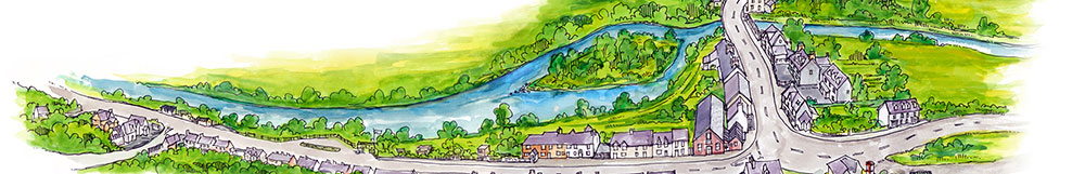
Llangammarch Wells lies in the northern lee of Mynydd Epynt, about three miles as the crow, or the red kite, might fly from the hill's highest point, which is over 1,500 feet.
For centuries people have known this hill area by its Welsh name - translated as "Hill of the Haunt of the Horse". Indeed, the horses from the Epynt were the reason for the annual auction in the village for many years until about the middle of the last century. Since then, the area has also been known to those with military connections as Sennybridge Training area.
Be it called Epynt or Sennybridge Ranges, the piece of land is about thirty-six thousand acres, about twelve miles long by five wide, running from south-east to north-west. With few noticeable peaks, there are a number of deep ravines and nearly all the area lies well over a thousand feet above sea level. Annual rainfall is more than double the average of, for example, Birmingham. Naturally, such high land is frequently obscured by cloud.
There is evidence of shepherds tending their flocks here three thousand years ago, and bronze age cairns have been found. From the early middle ages until the nineteenth century there was a drover's road coming over from west Wales and leading to the river Wye near Erwood, where livestock would cross the river en route to the market-place, having avoided the fees payable on the turnpike roads along lower routes. The old Drovers Arms public house still exists on the Epynt but, sadly, it is now de-licensed and only available to the Army.
It was in the early days of World War II, dark days for all, when the Epynt was considered by the Army as very suitable for military training, to include the firing of live ammunition. Thus, within a short time, farmsteads had to be vacated and the hill cleared of its people.
This meant for over fifty families the loss of homes and livelihood - a traditional way of life stretching back beyond memory. Some monetary compensation was paid but it was a derisory amount. Although small farming opportunities would be found elsewhere and despite our national emergency with whatever need there might have been for training areas, it is impossible to find words to express the huge and sad loss felt by those families then. Even today, memories linger on of the uprooting of a community. Further details regarding farming on the Epynt and the subsequent vacation of the farmsteads when the Army took over can be found in the book "An Uprooted Community", by Herbert Hughes.
With the fullest, sensitive regard to the above feelings, it has to be said that the area has proved, over half a century, to be of enormous benefit to the Army, therefore to the making of soldiers better able to fight our cause. Well over one and a half million military personnel have used the range for the fullest aspects of training - artillery, infantry and all their support services. The casual observer may only discern gunnery and rifle-firing but within the area are several ranges in which are practised the many and varied activities necessary to train for war.
The terrain certainly represents much that an army has experienced in many theatres of war since 1939, or would expect to encounter. The area is very wet, the ground mostly boggy, and visibility is often testing; in parts it is very wild and bleak; natural and man-made cover is plentiful. It is excellent land for fieldcraft, day and night navigation, a whole range of "dry" (ie, without the firing of live ammunition) training and the whole gamut of military activities in which competence must be learned if our forces are to operate to the highest standards for which our Army is internationally renowned - both by our (potential?) foes as well as those who, in so many cases, have looked to us to help protect and defend their territories.
Significant to the driver over the Epynt is the relative absence of troop movement. Considering that an average of two and a half thousand soldiers train here each month, their presence is pleasantly unobtrusive. It is also evident that the Ministry of Defence has a high respect for the land and for the wider community in its conservation of wildlife and the natural landscape and by allowing farmers to graze sheep over major parts of the hill. Surprisingly few have been killed by gunfire and this is compensated for by very low grazing rentals.
For a few periods over the year, the range is opened for ramblers - access clearly being limited to paths free of unexploded shells! And, always a popular event, the Commandant invites the public to a multi-activity Open Day once a year when one is shown many of the above features, not least of which is the Red Kite Conservation Centre, which shows the military's part, depicted in graphic displays, in the restoration of this once disappearing species to the area.
At all times the Epynt remains partly accessible to the visitor via the several roads open to the public. The main one, from our village over to Brecon past the old Drovers Arms, gives a representation of the ancient and recent history of the area, and it is a fine drive over and through this elemental range of hills.
Travelling towards Llangammarch on a fine evening at sunset, looking down at our scattered communities from the high hill, one is able to reflect on the beauty of nature, on past peoples and events in the area's mixed history, even on the nature of conflict and its prevention... on losses and on gains...
written by Bryan Taylor and taken from Llangammarch Wells Past and Present – A History and Guide. March 2000